- Size:畫面比例16:9
- Material:Computer program calculation video
- Year:2022
- Price:US$10,000
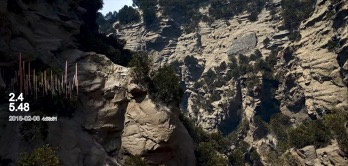
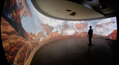
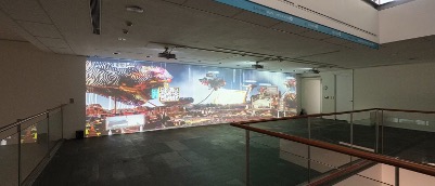
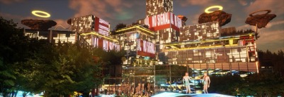
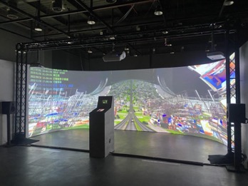
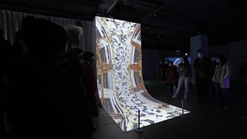
- Depiction: As digital technology continues to evolve, the boundaries between virtual and real are increasingly blurred. In contemporary society, multiple layers of reality are rapidly transmitted through fiber optics, the internet, and satellites, with people beginning to understand the world through virtual imagery. In this era, what constitutes the most "real" landscape image? Is it the virtual impression constructed from a flood of fleeting online images, or the precise structure of the physical landscape? The project "Simulated Mountain Walk" reflects on these two aspects of reality, using the Hualien Gorge as the subject of a "digital sketch." After field studies, the team uses a game engine equipped with real-time ray tracing to construct a virtual landscape that integrates terrain, symbols, and digital data, reshaping the sensory experience of a place spanning vast time and space. The scene is assembled with 3D-scanned objects to create a realistic terrain, while real-world environmental data such as wind speed, rainfall, earthquake magnitude, depth, and geographic coordinates are used to control corresponding parameters in the virtual world. This allows for unpredictable visual changes in the virtual image, mirroring the uncertainty of the real world.

